Wednesday, April 30, 2014

Cooling Down, Quieting Down...

Good Morning!

After watching a couple of days of severe weather here and elsewhere, a quieter, cooler pattern emerges for the next several days.  Let's have a look and see what's going on...
.
LOW STILL THERE, COOLING RESULTS:  You bet it is, that low pressure center is just hanging out there over Wisconsin, ever so slowly moving to the east-northeast.  You'll start to feel the effects later today as we begin a seasonably sharp cool-down over the next 24-36 hours.  Temperatures today will top out in the middle 60's, tomorrow we give back at least 10 degrees of warmth, with daytime highs settling down the low to mid 50's. Forecast model data indicates we stay in the 50's until the weekend, then start to warm back to seasonal levels.

SOME RAIN HERE AND THERE:  The low close by will influence our rain chances as well.  We'll see periods of cloudy skies with some peeks of sun in addition to the cooler readings, with the chance of some scattered showers and even an occasional buried thunderstorm in the area through Saturday.  Here's a look at the Weather Prediction Center forecast map:

Less than 1 inch of liquid expected until you get to the top of the mitten!
The scattered shower activity has changed the picture dramatically on the 5 Day outlook - not a whole lot of rain in this part of the world.  From Sunday on, through the forecast window, we trade clouds and showers for sun with some passing clouds.  That should look a lot nicer for you as we ramp up toward Cinco De Mayo and Mother's Day next month.

SEVERE WEATHER:  We can put the severe weather risk to bed for the time being.  The Storm Prediction Center predicts just some plain vanilla thunderstorm possibility in Michigan for today and this evening, then nothing after that for the rest of the three day forecast window.

Here's a look at the current temperatures around the nation:


Not much going on in the state so no need to show you Tru-Track Doppler Radar; just a couple of showers up around Muskegon.  Here's the forecast for Jackson and vicinity:


And here's the extended six day forecast:


That'll do it for now, I hope you have a wonderful day!  Blessings.

Tuesday, April 29, 2014

Busted!!!

Good Evening!

With the severe weather threat winding down, time to see what's going to happen over the next few days, as well as recap the day's events.  Off we go!

BIG MISSES TODAY ON MY PART:  Two significant busts to own up to.  1)  I predicted a high of 68, and we made it all the way up to 75 this afternoon!  That's seven degrees off, and not any good to you!  I set my tolerance for error at 3 degrees and I was more than double that off the mark today.  I was not expecting the warm air to advect (filter) in as aggressively as it did!  This is where if I had the time to look at data more closely, I could have changed the forecast and salvaged it.  Clearly the low level jet was bringing plenty of warm air up this way!

2)  I predicted that storms would start to initiate on the wrong side of the state.  The forecast data I looked at showed the best afternoon CAPE (Convective Available Potential Energy) in an area bounded roughly by Lansing, down to Hillsdale, over toward Monroe, then back up just west of the Detroit Metro and up to the Flint/Saginaw area.  The opposite happened, and we saw storms start down around Benton Harbor and track almost due north, which is rather unusual.  In fact, most of the storms today were a south-southwest to north-northeast deal.  I'll work harder for you in the future.

WHAT'S GOING ON NOW:  Still plenty of shower activity with an occasional storm or two to go around north of us.  Here in the blog area, all reporting stations are in the mid 50's...


We also note a dry slot with clearing skies off to the southwest of us, primarily over Indiana right now.  Just a few more scattered showers expected as the night progresses.

Have a great night!


Maybe Some Stormy Weather....

Good Morning!

Another day with plenty to talk about, this time in our own back yard, so let's get prepped and take a dive!

SEVERE WEATHER POTENTIAL FOR MICHIGAN:  The Storm Prediction Center has placed most of lower Michigan into the baseline "slight" risk for severe weather this afternoon and evening.  Have a look at this map that I have marked up for you:


As you can see, I have outlined the apparent bullseye where any severe weather should likely pop first today.  Model forecast data showed me two spots where the action would likely be.  I have drawn the bubble to cover them both.  That being said, it appears the areas on the northwest side of Detroit and up into the Flint/Bay City/Saginaw area have the most need to keep their guard up.  Data indicates surface based CAPE (the amount of energy stored in the air that acts as a battery for thunderstorms) as high as 1500 joules of energy - that's enough to knock you around a bit!  The charge in the atmosphere will be from some clearing off to the south that will be working in over the next few hours.  This will heat up things and create sufficient instability in the air to kick off storms later on.

I expect that straight line winds and some hail would be the most likely suspects for damage caused in the area, because the storms will likely end up as an unruly mob or semi-organized line after popping up in cellular fashion.  That being said, there's nothing preventing a small spin-up twister from occurring within a given storm.  Best estimate of when all this will happen is anytime after about 2 PM EDT, until about 11 PM tonight.  I'll be working my straight job, but I will do my best to keep you apprised of watch/warning information if the need arises, and I can update this later today.

Outside the dashed bubble, I expect more "Plain Jane" style thunderstorms, these could have brief downpours and gusty winds.  Speaking of rain, let's look at...

HOW MUCH RAIN CAN WE EXPECT THE NEXT FEW DAYS?:  Not as much as initially expected, believe it or not.  The Weather Prediction Center has backed off of the rain amounts in this part of Michigan, pushing the heavier stuff further north and off to the east.  Here's the map for the next seven days, taking us through 8 AM next Tuesday morning...


Definitely not the flooding look we had going on as recently as yesterday!  That being said, I do expect periods of scattered rain showers each day through Thursday after we get through this storm bit today.

STAYING COOL OR WARMING?:  I can say a bit of both, and be reasonably accurate.  Today should be the warmest of the next six or so, with readings pushing 70.  After we get the frontal system through tomorrow, we drop readings back into the mid 50's and keep them there through the weekend.  It will feel a touch cooler than the forecast high each day, owing to breezy conditions, and that wind will be a west-northwest wind starting Thursday.  Seasonal average is right around 65 in the area, and most reporting stations will be there or a bit above today and tomorrow, then as much as 10 degrees or better below that for the balance of the week.  Here's a look at the current temperatures:


And here's a look at the satellite/radar composite image.


Now for the forecast for Jackson and surrounding areas including Parma and Vandercook Lake:


I hope you have a great day!  Blessings!

Severe Weather Possible Today...

Good Morning!

I'm building the forecast as we speak, but to let you know, the Storm Prediction Center has changed the map from last night.  As advertised if you read my discussion yesterday, SPC has expanded the slight risk area for severe weather today.  Here's a detailed look at the map:


Be close to a good source of warning information today, especially after 2 PM this afternoon.  I am building the forecast and will talk about this in more depth there.

More to come...

Monday, April 28, 2014

Spring In Full Swing (Or Full Wring - Rain On Tap)...

Good Morning!

Plenty to talk about today weather-wise, so we'll dive right into it.

PRAY FOR VILONIA, ARKANSAS:  That town had just rebuilt from damage that occurred three years ago, when one of the 2011 Super Outbreak tornadoes flattened it.  Last night, that town was scored on once again.  A small town of about 3500 people just north of Little Rock appears to be largely destroyed after a tornado tore it up again last night.  No final numbers yet on fatalities and such, however based on the few images I have seen in the press, plus the scanner traffic I was listening to, along with the radar signatures I saw, I will speculate that it will be rated at least an EF-3.  (Disclaimer:  I am not yet a degreed meteorologist, and I have not seen any damage images beyond what's in the media and on Twitter.  The rating comment is my opinion only and shouldn't be taken to the bank.)  Say a prayer in whatever tradition you're used to for those folks as they pick up the pieces again.

SEVERE WEATHER, ROUND TWO:  The stormy weather isn't over yet, as the Storm Prediction Center (SPC) is forecasting a "moderate" risk for severe weather, this time through Dixie Alley and up into central Tennessee.  Have a look at the map from the SPC:

Day 1 Severe Risk
Inside the moderate risk area is a better than 1 in 10 shot at a tornado of EF-2 strength or higher, and hail 2" in diameter or better.  The good news for us here in Michigan, is our forecast includes just the mention of some Plain Jane thunderstorms, without all the fuss and such of severe storms.  We will have wind and rain issues today though, more on that later.  Tomorrow, the southeastern corner of the state is tossed into the basic "slight" risk of severe weather.  Here's that map:

Day 2 Severe Risk
For now, on Tuesday, parts of South Central Michigan are in play from the SPC standpoint, but it's too early to tell if that holds.  We need to get through the next 18 hours or so before we get a really solid idea.  For my money, I think the risk will still be there tomorrow, but the area included will change and possibly expand a little.  Future model runs will flesh out the details, but I have a feeling that the low pressure center may linger out west a bit longer than we're seeing now, keeping the risk here.

RAINS ARE A'COMIN:  Here's a look at the Tru-Track Doppler Satellite/Radar composite image, showing a band of showers tracking almost due north, with the heaviest activity stretching from Coldwater to South Haven, then northwest across the lake to Milwaukee.  We'll keep rain in the forecast for a good chunk of the week I'm afraid, with a low that is currently parked on the Iowa/Nebraska border creeping along to the northeast ever so slowly.  Here's a look at the map:


As it spins counter-clockwise, it pulls warmer, moister air up from the Gulf of Mexico, setting the stage for showers and a few thunderstorms.  Forecast models are saying we also cut off a second low pressure center right on the Michigan/Ohio line at 8 AM tomorrow, and the localized unstable air connected with that feature will gift you the lifting mechanism needed to fire off showers and perhaps a few thunderstorms.  Even if we don't get that second low to actually set up as advertised, rain will be plentiful this next several days.  Here's a look at the Weather Prediction Center 5 Day map:

5 Day Precipitation Forecast Thru 8 AM Saturday
This is a very wet look, with two inches or better of rain expected between now and the weekend!  Don't expect much sunshine during this week either.  Tuesday and Thursday look to have the best shots at some breaks in the clouds for some sunshine, but gray skies are the rule this trip, rather than the exception.  At least the rains tomorrow will be fairly warm.

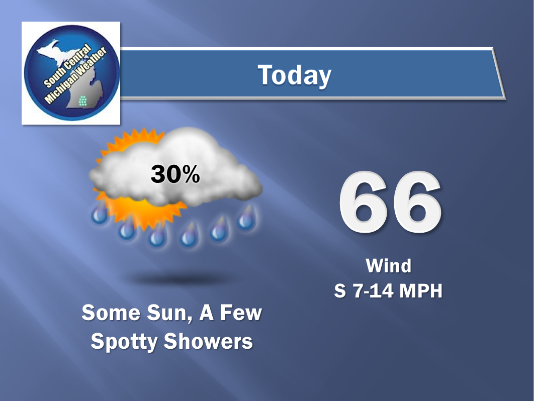
WINDY, WITH MILDER TEMPERATURES ON THE WAY:  Today we have a High Wind Advisory to contend with.  East winds gusting to 45 MPH will make driving large bulky vehicles on north/south roads an adventure.  Make sure you secure anything you don't want to go looking for or have to clean up between now and tomorrow morning.  All that wind will usher in above average readings on the thermometer for at least a couple of days!  Average is right around 65 in the south zone, and readings in some spots could make it into the lower or even middle 70's.  That being said, I'm predicting 69 for Jackson and vicinity.  North zone, you may see a 70 or two as well, though your average readings are a couple of degrees cooler.  As we get into mid-week, we'll drop the mercury  back into the 50's after the cold front gets through here on Wednesday.  Readings start to climb again toward the seasonal average of 65 in time for the weekend, along with some sunshine!

Here's a look at current temperatures around the US...


And here's the forecast for Jackson and vicinity:


And here's the extended outlook...


I hope you have a great day!  Blessings.