What a difference a couple of days make! Overcast conditions and even some fog in the area this morning as I write. Some areas last night were visited by some showers and thunderstorms, a few of the storms did have the small hail, gusty wind, and heavy rain that I talked about. Let's have a look and see what's running under the hood:
CLOUDS AND A BIT HUMID: It will feel a bit sticky out today, with relative humidity values up around the 80-90% mark for awhile. We'll see those values come down this evening, but to get that drier air, we have some spotty showers or a rogue thunderstorm to worry about until we get there. Here's Tru-Track Doppler right now:

If you draw a straight line from Ludington to Port Huron, anything south of that line will have the best chances of showers today.
A CHANCE OF SHOWERS THROUGH THIS EVENING: No big deal, nothing severe, just a bit of rain and such as the upper air patterns shift some. The RAP and Hi-Res RAP forecast models are showing in their futurecasts that we increase the coverage of rain from isolated to scattered through the evening, then taper it off. The best chance of rain is along and south of I-96. Have a look at the latest 5 Day Rainfall forecast from the Weather Prediction Center:
 |
| Rain forecast map for the Lower 48 through 8 AM Monday June 2nd. We're pretty dry here in Michigan, with a quarter-inch or less of rain forecast for the Lower Peninsula. This map won't factor in pop-up showers and storms like we had yesterday and will have today, so your mileage will vary. |
CLEARING AFTER THE RAINS: After the rains depart, we expect clearing skies along with air that isn't really that much cooler, but it will feel like it, as dewpoint and humidity values come down from where they are right now. It will feel good, I promise you, and that sets the stage for...
ANOTHER WEATHER WINNER: Plenty of sunshine, seasonably warm readings, those themes continue, with the next chance of substantial rain coming next week. All indications point to Monday for that rain. Here's a look at current temperatures around the great US of A.
 |
| Surface Temperatures as of 9 AM EDT |
Here's a sneak peek at the next few days in the area:

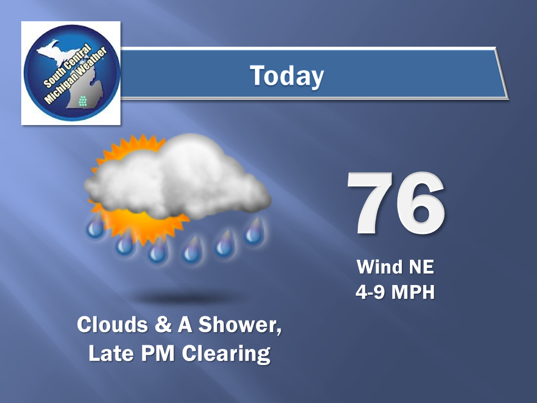
And here's the forecast for Jackson and vicinity:


I hope you have a wonderful day! Blessings.
No comments:
Post a Comment