Monday, December 9, 2013

Quick Look For Tuesday...

Hey Gang!

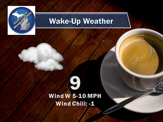
I tell you what - that cold air that I said didn't look like it would make it in but for a brief stay Tuesday?  That was wishful thinking on mine and the forecast models part.  I told you this weather bit will keep you humble.  You can expect a bit of a stay in the deep freeze, more so wind chill driven than actual air temperature driven, but who cares?  It's going to be COLD out there.  Here's the wake up weather and forecast for tomorrow.


Stay warm, I will try to make more sense of this for you tomorrow!

Really Cold Close By...

Hello!

I said that nasty cold air wouldn't get to us.  I suppose you could say my forecast busted after a fashion.  The air temperatures aren't what they are to the west, but the wind chills make it so that you wouldn't care - it feels brutally cold!  Have a look...


Only four reporting stations in Michigan currently with double digit positive wind chills.  Everyone else is either single digits or in the hole.  Needless to say, bundle up if you must venture outdoors.  Otherwise stay inside!

Sunday, December 8, 2013

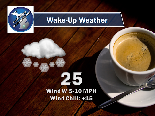
Wake-Up Weather

Here's a look at your morning weather picture:


What The Heck Is A Snow Box?

Hello Gang!

I thought I would take a minute to clarify one of my pet phrases that you'll see in my winter forecasts this year.  I use it because it's quicker typing, and people can make a mental connection with a shape bounded by some sort of lines.  Allow me to introduce the snow box.  Look at this graphic to see what I mean:


Now I must tell you that this DOES NOT always hold true.  Lake effect snow can happen anywhere up and down the lake shore, and inland as much as 100 miles or so.  It all depends on atmospheric setup and wind direction, among other things.  For instance, I left Benton Harbor out of the snow box, but they see their fair share, and sometimes more.  This box represents the best chances for accumulating snow beyond an inch or two during a lake effect snow situation.  The snow bands can also hold it together and be pushed east by winds aloft, thus dropping a couple to four inches of snow (sometimes more) as far east as the US-127 corridor (Lansing, Mason, Leslie, Jackson).

So when you see me speak of the snow box in the future, you know where I am talking about, and that I am thinking of heavier snowfall in this part of the state.

Take care!  Details on the snow in the area forthcoming.

Snowy and Cold -- No Deep Freeze Yet...

Good Afternoon!

It feels good to be able to get in front of the computer again and do a little bit of forecasting and writing for you.  Time is so short these days, and trying to squeeze in sleep around two jobs...challenging.  Anyway, weather...it's snowing.  If it's not already it will be by nightfall.  I'm sure you've heard or seen this somewhere by now.  If you haven't, you can expect a half-inch or so of snow, especially along and south of I-94.  Let's have a closer look and see what's going on and what we can expect.

THE FREEZER DOOR IS OPEN, NO DEEP FREEZE YET (NOT HERE ANYWAY):  We'll see temperatures get seasonably cold over the next few days, thankfully I don't see the bitterly cold air in the northern Plains edging it's way in here until a brief appearance Thursday.  Have a look at these maps and you'll see what I mean:


Combine that with the snow that is falling and you'll set the tone for the holiday season, white Christmas, all of it.

SOME SNOW, ENOUGH TO MAKE TRAVEL TRICKY:  No winter storms afoot now which is good, but there is some snow falling, and you can expect up to a half-inch tonight, and about an inch between now and the middle of the week.  Heavier amounts will fall in the snow box over by the lake.  This snow tonight will slicken roads and cause some headaches, especially on untreated surfaces.  Be careful tonight, allow some extra time to drive into work tomorrow, and you'll be fine.  Have a look at the radar composite to see what we're talking about:


Computer forecast models are all saying that after this snow comes and goes, we stay fairly quiet until Wednesday.  That being said, I really think almost any day this week, we'll have the chance at some flurries or even a bit of light snow.  The best chances of that after tonight will be Wednesday and Saturday, with Saturday's event possibly leaving us a couple of inches of snow.

LOOKING AHEAD:  Not much on tap beyond your typical winter weather pattern minus heavy-duty snowfall.  Average temperature around these parts this time of year is 35, so we'll be running below normal right through the weekend.  We see a bit of a warmup as we get to the week before Christmas, but that may also bring in more snow.  We'll keep you posted.

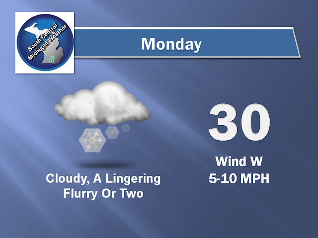
Here's the forecast for Jackson and vicinity:


There's a look at your forecast, have a great night.