We may actually thaw out some! Temperatures are ABOVE FREEZING for the first time in recent memory. All of the snow we have on the ground will become good snowball snow for the kids, and some of it will melt. Let's jump right in and have a look.
WARMER CONDITIONS THE NEXT COUPLE OF DAYS: The upper air pattern reset that I alluded to is taking place as I write. No more cold Arctic air diving down into the area from Canada. This look is much more zonal, with a straight east/west flow coming off the desert out in Arizona and New Mexico. What does that mean for us? It's now warm enough to melt off some snow and anything that falls from above would have a good chance at being rain or a wintry mix. That being said, the break point between rain and snow is not very far north of us at all!
WHAT ABOUT THE STORM SYSTEM MIKE?: This is where I would earn my money as a forecaster if this were a paying gig. Let's try it. Multiple models have slowed down the arrival of the boundary, making it more of a late evening/overnight affair. From what I see, I'm calling rain over the southern half of the blog, and snow or mixed precipitation through the northern counties. Let me stress one thing - we are close enough to where the computers are saying the core of the boundary will track that the south half of Calhoun, Jackson and Washtenaw counties could see rain and the north half of the counties snow. It's THAT close. That will continue into tomorrow and the weekend. I'll have to dig in and see what it looks like next forecast model run.
LOOKING AHEAD: The weekend looks to be a mixed bag, then we shift back into snow mode, with a potential storm on tap to ensure a white Christmas for us here in this part of the world.
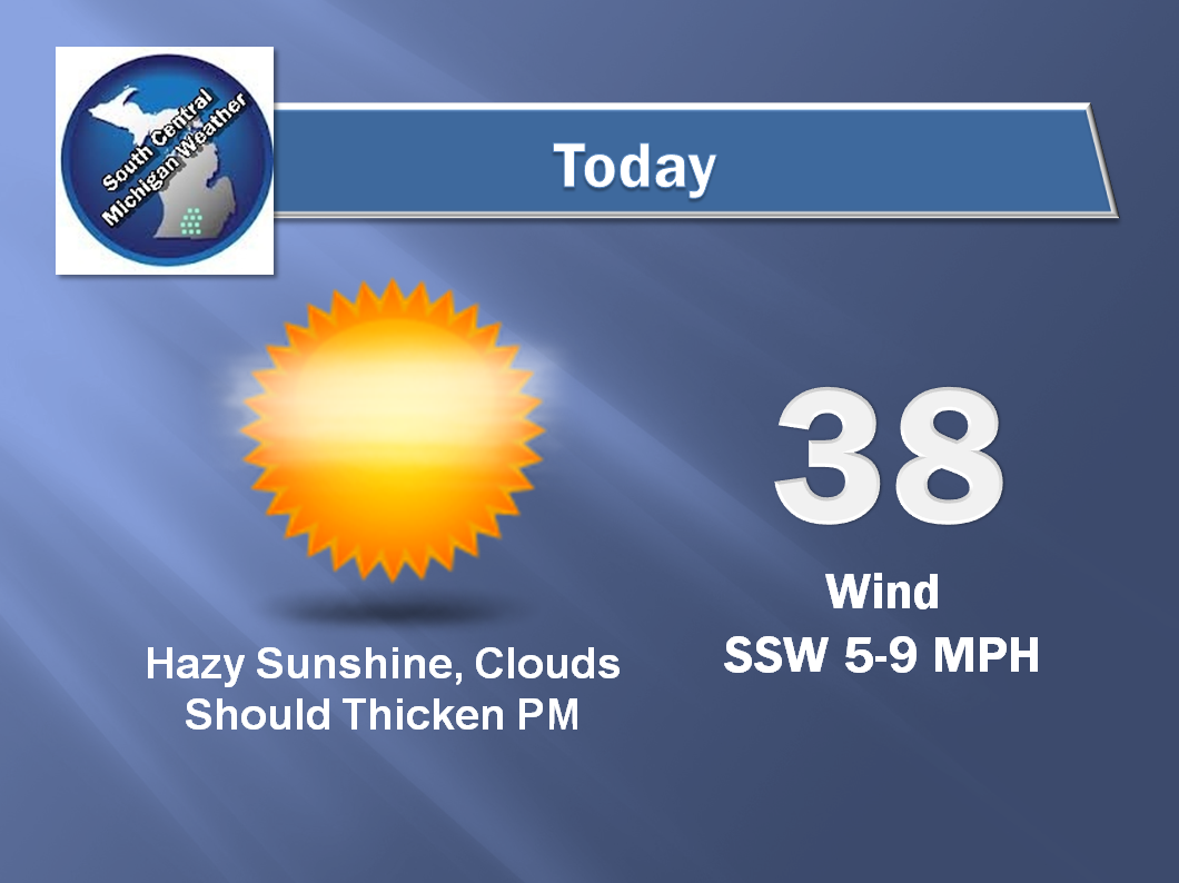
Here's my forecast:


Have a great day!
No comments:
Post a Comment