The clear skies I advertised got here ahead of schedule! They will be around for awhile! Temperatures will start to moderate as well! I could say that's the whole forecast through Friday and be in the ballpark, but you expect more detail than that. :) I also need to talk a little bit more about Easter Weekend. Let's pop the hood and see what's running...
FAIR AND MILD - AFTER A BUMP: A very benign weather pattern continues in this part of the world. Two high pressure centers keep a precipitation roadblock up and hold rain out of the picture through Saturday. Clear skies allow us to tack a few degrees of warmth each day onto an otherwise clear and cool overall look. What about mild you ask? The average high in Jackson is right around 53. The GFS forecast model is suggesting 54 on Saturday and 52 for Easter Sunday. Temperatures dip back into the lower 40's Monday and Tuesday, then rebound nicely to seasonable lower 50's levels.
EASTER SUNDAY: This forecast is still a touch tricky. I am confident that we get wet on Sunday, but carving out a solid window of arrival for the rain is the hard part. I don't have solid forecast data agreement to get you to an approximate arrival to help you know what to do regarding your Easter Egg hunts and such. I will say right now that Sunday being washed out is certainly more of a possibility than it was 24 hours ago, based on the data I have seen. We are still 72 hours out, so there is ample opportunity for things to change again. Plan on the umbrella or rain gear, and I'll have more idea as to how soon and how long you'll need it in the next day or so.
PRECIPITATION: Those roadblock highs hang tough and keep us dry into the weekend. Clouds thicken up Saturday evening, and showers look to be in place by the time you head out for Easter Sunday celebrations. Take a look at the National Weather Service 5 Day Precipitation Forecast, you can see that we should pick up around a half-inch of rain through 8 AM Monday morning...
 |
| NWS 5 Day Precipitation Forecast |
SEVERE WEATHER: With a big pile of seasonable and stable air across the eastern two-thirds of the nation, the Storm Prediction Center says all quiet, with maybe a few lonely garden-variety thunderstorms if that. Nothing organized expected the next three days.
Let's have a look at temperatures across the US of A at this hour....
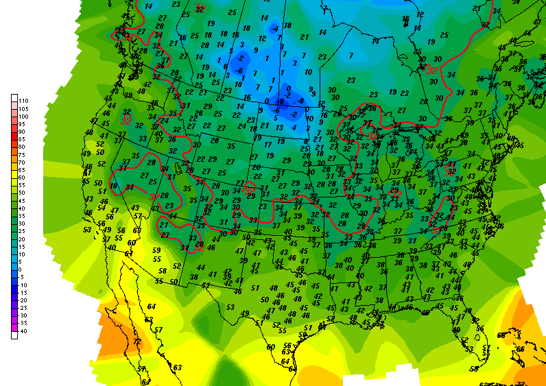 |
| US Surface Temperatures |

No need to show you Grand Rapids NEXRAD radar, as it is sound asleep with nothing to see.
Here's the forecast for Jackson and surrounding areas including Michigan Center and Rives Junction:
Today, mainly sunny, some clouds form later in the day, seasonably cool, high 44, wind NW 7-14 MPH.
Tonight, mostly clear skies, perhaps a couple of passing clouds, lows drop to 24, winds NW 5-10 MPH.
Thursday, more primarily clear skies, milder still, high 45, wind NW 5-10 MPH.
Thursday night, mainly starry skies, a clouds of floating clouds, lows near 25, wind NW 4-8 MPH.
Friday, mostly sunny, you may see a few clouds during the day, warmer, high 50.
Saturday, sunny and seasonably mild to start, some clouds start building in during the afternoon. High 55.
Easter Sunday, cloudy and rainy, high 51.
Monday, lingering clouds, some scattered showers or snowflakes still linger, sharply cooler, high only 42.
Tuesday, clearing skies, milder, high 46.
There's a look at your forecast for the next six days, I do hope that you have a great Hump Day Wednesday! Blessings.
No comments:
Post a Comment