Let's jump right into it this afternoon:

SUMMARY: Clouds thicken up slowly for the remainder of the day, expect a very chilly night with temperatures possibly in the single digits, then a rapid warm up takes place, with temperatures trending up near 40 degrees late day. After that, more chilly air in from Canada. Perhaps a change in thinking for the weekend also, as forecast modeling has backed off of the notion of a significant storm coming this way. More on that below.
Temperatures after the quick spike into the 40's will drop back to just under 30, and linger there until the weekend, when more zonal flow across the nation brings us some milder air that's not coming from north of the border and over a snowpack.
PRECIPITATION: We'll see some precipitation late tomorrow after dinnertime, primarily rain, though a snow shower is not off the table. That stays with us through the overnight hours but should be on the way out of here morning drive on Tuesday. For those areas that see snow, don't expect much more than an inch. Southwest winds should keep us more rainy than anything, though as the low gets out of here, some lake-effect snow is possible west. As it stands now, I don't see that working this far inland.
After that, quiet until Friday, when that system that was initially forecast to be quite the headache is looking more like a routine winter system. Instead of plenty of snow, I'm thinking more like 3" out of that deal.
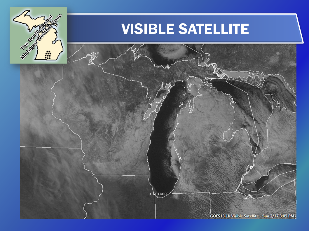
Here's a look at the satellite, most of that white you see is snow on the ground, not clouds:
And here's the current radar from Grand Rapids - not much but a lone lake-effect snow band there:
Here's the forecast for Jackson and surrounding areas including Rives Junction and Vandercook Lake:
Tonight, clear and cold, increasing clouds toward daybreak, cold, lows drop to around 10 above. Wind swings from NW to SW 5-10 MPH, wind chills near 5 above in some spots.
Monday, becoming mostly cloudy, rain and maybe a snow shower developing late. Temperatures climbing during the day, high 41, wind SW 6-12 MPH.
Monday night, rain and show showers wind down late, not as cold, lows roll back to 23, wind SW 6-12 MPH.
Tuesday, continued cloudy, colder, a stray flurry cannot be ruled out, high 28, wind turning NW 7-13 MPH.
Wednesday, cloudy and seasonably cold, high 28.
Thursday, still cloudy, cold, high 28.
Friday, cloudy, chance of a wintry mix or some snow, accumulations should be less than 3". High 33.
Saturday, still cloudy, a chance of snow or freezing rain can't be eliminated, high 35.
There's a look at your forecast for the next six days, I do hope that you have a great day! Blessings.
No comments:
Post a Comment