Good Morning!
A simply spectacular Memorial Day Weekend is on tap for us here in South Central Michigan. I could say that's the forecast and wrap up and be on the money. It's THAT nice. Let's give some insight into what's going on right now...
HIGH PRESSURE DOMINATES: We have a high pressure center sitting right over the top of us, and it's not really going to do a whole lot of moving between now and Memorial Day. It's keeping us dry, with just some clouds in the mid early afternoon and then again as we get toward sunset. Aside from that, make sure you have the sunscreen and bug spray with you. All of the rain we had is responsible for a bumper crop of mosquitoes.
SEASONABLY WARM: Average temperatures are right around 76 in this part of the world this time of year, and we'll match and exceed that over the next couple of days - but not by too much. It won't be so hot that you can't enjoy the outdoors. Everything looks to be running about as expected for the unofficial start of summer. Meteorological summer, if you're curious, starts June 1st, and calendar summer, which is tied to the Summer Solstice, starts June 21st.
NO RAIN HERE: All of this sunshine and great weather means that to keep the lawns nice and green you'll want to consider sprinkling a bit. Here's a look at the precipitation map from the Weather PRedcition Center. As you can see, not much action expected for the next five days, with a half-inch of rain as the high-water mark for a good chunk of lower Michigan...
The next real threat of rain appears to be Tuesday afternoon, which makes sense to me, considering that by then, we'll be up into 80+ territory on the thermometer, with increasing humidity values and such as well.
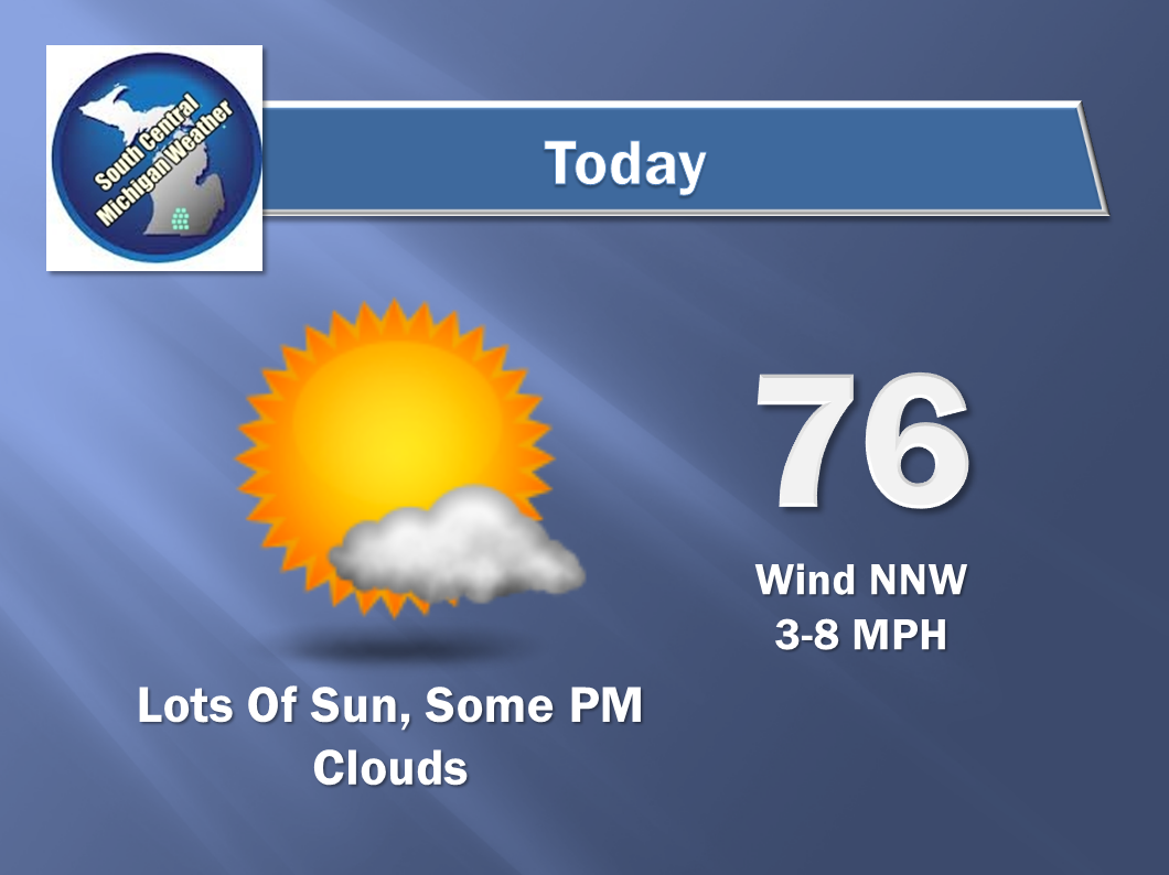
Now for the forecast for Jackson and surrounding areas including Spring Arbor and Rives Junction:
And here's the extended forecast - notice the cool down toward the end of the week after the midweek rain and storms...
I hope you have a great Saturday - Enjoy it! Blessings.


No comments:
Post a Comment