After watching a couple of days of severe weather here and elsewhere, a quieter, cooler pattern emerges for the next several days. Let's have a look and see what's going on...
.
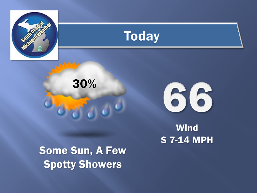
LOW STILL THERE, COOLING RESULTS: You bet it is, that low pressure center is just hanging out there over Wisconsin, ever so slowly moving to the east-northeast. You'll start to feel the effects later today as we begin a seasonably sharp cool-down over the next 24-36 hours. Temperatures today will top out in the middle 60's, tomorrow we give back at least 10 degrees of warmth, with daytime highs settling down the low to mid 50's. Forecast model data indicates we stay in the 50's until the weekend, then start to warm back to seasonal levels.
SOME RAIN HERE AND THERE: The low close by will influence our rain chances as well. We'll see periods of cloudy skies with some peeks of sun in addition to the cooler readings, with the chance of some scattered showers and even an occasional buried thunderstorm in the area through Saturday. Here's a look at the Weather Prediction Center forecast map:
 |
| Less than 1 inch of liquid expected until you get to the top of the mitten! |
SEVERE WEATHER: We can put the severe weather risk to bed for the time being. The Storm Prediction Center predicts just some plain vanilla thunderstorm possibility in Michigan for today and this evening, then nothing after that for the rest of the three day forecast window.
Here's a look at the current temperatures around the nation:
Not much going on in the state so no need to show you Tru-Track Doppler Radar; just a couple of showers up around Muskegon. Here's the forecast for Jackson and vicinity:
And here's the extended six day forecast:
That'll do it for now, I hope you have a wonderful day! Blessings.


No comments:
Post a Comment